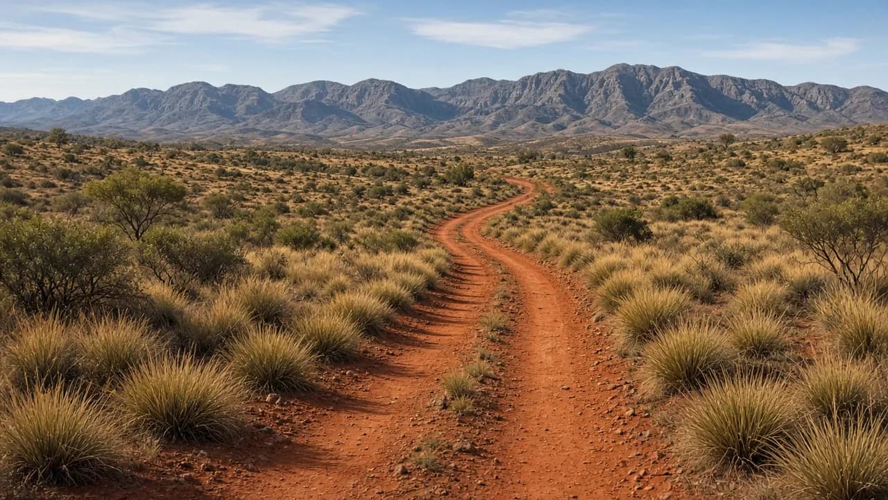
Ask ten travellers to name Australia’s iconic 4WD tracks and you will hear the same cluster: Cape York, the Gibb, the Canning, the Simpson, Fraser Island — now K’gari — and the High Country. Those names survive because they concentrate what remote driving in this country is for: distance, weather, and a feeling that the map is not decorative.
They also survive as marketing language, which is how people get into trouble. An “iconic track” is not a ride with a queue. It is a corridor through working land. The job of this page is to separate the useful geography from the souvenir version, and to send you to the desks that decide whether the corridor is open.
How to read a famous name
Treat each iconic route as a stack of tenures. The stack usually includes:
- a national park or conservation reserve with a published conditions page
- Aboriginal land that may need a transit permit or a booked camp
- a pastoral lease or station road used by courtesy, not by right
- a local-government or main-roads segment that looks “easy” until a floodway is marked closed
If you only bookmark the national-park page, you will still be missing someone who can say no.
Treat seasons as a manager, not a backdrop. The same wheel track is a different road after a wet-season storm, a late-winter snow dump, or a week of easterly wind that piles sand against a beach ramp. Park services close roads to protect the surface and the people on it. Driving around a closed sign is not a shortcut. It is how tracks stay closed longer.
Treat difficulty as local. A highway-width station road can deliver you to a dune or a rock step that is optional. Optional is the word that saves vehicles. The iconic name describes the journey you meant; the optional feature is the one that rolls a late-afternoon decision into a recovery.
Cape York and Old Telegraph Track country
The peninsula run toward the tip of Queensland is a classic because it mixes long corrugated roads, creek crossings, and a cultural landscape that is not a backdrop. Queensland Parks and Wildlife Service manages a string of parks and resources along the way. Large stretches also sit on Aboriginal land, which means transit and camping rules can sit beside the park rules rather than underneath them.
The Old Telegraph Track — and the bypass roads that exist because not every crossing is a good idea — is where people confuse “famous” with “mandatory”. Bypasses exist so that a trip can continue when a creek is wrong. Using one is not a character flaw.
Before you go, read the current park notices, the relevant land-council or designated-area permit pages, and any biosecurity or fire restrictions for the Cape. Do not borrow last year’s river heights from a stranger’s album.
The Gibb River Road
The Gibb is Kimberley travel: a long unsealed spine with park side trips that are often the reason people came. Western Australia’s Department of Biodiversity, Conservation and Attractions publishes park information for many of those side destinations. Some gorges and camps work on booking systems that fill. Some station access is still station access.
The Gibb teaches a lesson that applies everywhere west of the divide: distance is a consumable. Fuel, water and time stretch in the heat. A delayed crossing or a closed gorge is not an affront. It is the country doing its job. Build a plan that still works if a highlight is shut.
The Canning Stock Route
The Canning is not a weekend. It is a long desert stock route that crosses a patchwork of Aboriginal land, reserves and other tenures in Western Australia. There is no single ticket office that “opens the Canning”. You assemble permissions from the bodies that speak for the country you will camp on and the wells you will visit.
That is why this site refuses to treat the Canning as a trophy. It is a logistics problem with cultural obligations. If you cannot name the permit-issuing organisations for your intended camps, you are not ready to leave the bitumen. Start with the relevant land councils and prescribed body corporates, then the Western Australian park and desert-reserve notices that sit on your line.
The Simpson Desert parks
The Simpson — often travelled as a west–east or east–west dune crossing — sits across more than one jurisdiction. South Australia’s desert parks, Queensland’s Munga-Thirri country, and Northern Territory parks each have their own access rules. National Parks and Wildlife Service South Australia, Queensland Parks and Wildlife Service, and NT Parks and Wildlife are the names on the doors.
A desert parks pass in one state does not automatically bless the next border. Build the permit stack before you book leave. The desert crossings guide exists because this is the question people get wrong most often, and because dune country adds heat, wind and isolation on top of the paperwork.
K’gari and other beach icons
K’gari (Fraser Island) is the beach-driving icon that still surprises people who thought an island was simpler than a desert. Queensland Parks and Wildlife Service manages vehicle access and publishes the conditions that decide whether a beach is a road that day. Tides, washouts and interlacing creek mouths do more to shape a day than any brochure photograph.
Other beach icons — stretches of the Victorian, New South Wales, South Australian and Western Australian coasts — are often council-permit beaches rather than national-park beaches. That is a different desk. The beach driving guide starts with tyre pressure as a technique and permits as a jurisdiction problem.
The Victorian High Country
The High Country is a network, not a single track: alpine and sub-alpine roads through parks and state forest, with huts, river crossings and seasonal gates. Parks Victoria and DEECA publish seasonal road closures so that wet winter tracks are not destroyed and so that visitors are not committed to a ridge they cannot leave.
If you remember one High Country habit, make it this: read this season’s closure list, not a memory of last October. The High Country guide explains how those lists are issued and what “seasonal” does and does not mean.
Other names you will hear
Plenty of other routes deserve respect without being forced into a top-whatever: the Anne Beadell and other desert survey tracks, the Plenty and Sandover, the Gunbarrel, Tasmanian west-coast and central-plateau forest roads, Flinders Ranges gorges, and the long dirt of the Tanami. They follow the same rule as the famous ones. Name the manager. Name the season. Name your out.
Parks Australia’s Commonwealth reserves — Kakadu, Uluru–Kata Tjuta and others — are 4WD-relevant in places and permit-heavy in others. Read the Parks Australia pages for the reserve you intend to enter rather than assuming a “park pass” from a different system will do.
A way to choose without a ranking
Choose a route by the skill you already have, the time you can lose, and the crew you trust, not by the number of times a name appears on a sticker.
- If you are new to remote travel, a well-prepared run on a maintained unsealed spine — with booked camps and a satellite messenger — teaches more than a famous side track taken too early.
- If your crew already recovers well and travels slowly, a multi-tenure desert line can be the right next step, provided the permits are real.
- If you want mountains rather than dunes, the High Country in the open season is a different education: traction, weather and gates.
Whatever you choose, read trip preparation before you argue about accessories, and recovery basics before you argue about whether you need a winch. The track will not care who won the argument.
Iconic tracks earn the word because they concentrate Australia’s distances. They stay worth driving when travellers treat them as places with landlords — rangers, Traditional Owners, station managers — rather than as a stage. That is the angle this site will keep: the track as a responsibility, not as a score.
If you are still deciding, pick the landscape you can prepare for in the time you actually have. A well-prepared week on a maintained unsealed road teaches more than an under-prepared dash at a famous name. The country will still be there when the vehicle, the permits and the crew are ready at the same time.
Questions people ask first
Each answer leads with the useful part, then the caveats that belong with it.
- What are Australia's most iconic 4WD tracks?
- Cape York (including Old Telegraph Track country), the Gibb River Road, the Canning Stock Route, the Simpson Desert parks, K’gari, and the Victorian High Country are the names that dominate serious trip planning. Confirm each segment with the park service and landholders who manage it — fame is not a permit.
- Is there an official ranking of the hardest tracks?
- No public land manager publishes a national difficulty league table, and this site will not invent one. Grade a trip by current conditions, your recovery skill, and the longest delay you can absorb.
- Can I drive these tracks in any capable 4WD?
- Many famous roads are travelled by well-prepared dual-range vehicles with all-terrain tyres and recovery points. Some side tracks, creek lines and dune systems ask for more clearance, more skill, or a decision to turn around. Match the vehicle to the segment, not to the name of the whole route.
- Where do I check if a famous track is open?
- Start with the park authority for that reserve, then the land council or pastoral contact for any private or Aboriginal tenure, then the state emergency and fire pages if the season is hostile. Do not rely on a single social post.
Keep reading
- Trip preparation
How to ready a 4WD for remote travel: inspection, loads, water, fuel planning, and the paperwork park managers actually check.
- Desert crossings
Simpson and Canning country: multi-tenure permits, dune driving, and why park and land-council notices sit above any trip report.
- High Country
Victorian alpine tracks, seasonal road closures, and how Parks Victoria and DEECA publish the dates that matter.